


Nepal’s high-tech disaster response meets low-tech reality
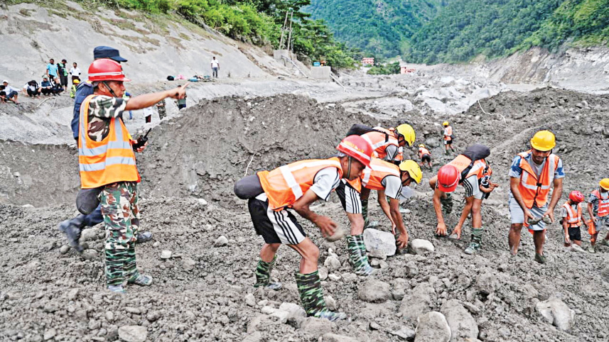
The floods in the Bhotekoshi and Trishuli rivers have exposed a striking gap in the country’s emergency response. The government agencies are increasingly using digital portals, drones, GIS, satellite images and artificial intelligence to collect and share information, while rescuers on the ground still lack enough specialised equipment to reach people trapped under mud and debris.
State agencies, including the Prime Minister’s Office, Nepali Army, Nepal Police and the national disaster management authority (NDRRMA), have launched extensive information drives across social media platforms, emergency SMS broadcasts, mobile ringtone alerts, and specialised applications.

Concurrently, independent tech groups and civic initiatives have rolled out digital mapping tools, tracing scripts, and open-source data repositories to track missing individuals and compile disaster statistics.
Yet, as the death toll rises and survivors remain isolated, technical analysts, emergency responders, and affected citizens point out a stark contrast. While the country’s digital communication strategy appears polished, its physical search, rescue, and early warning infrastructure remains woefully underdeveloped.
On Saturday, a video circulated on social media showing a Nepali Army search team navigating the tunnel of Trishuli Hydroelectric Project to locate trapped workers. The soldiers relied entirely on the small beams of their smartphone flashlights.
The video sparked immediate public outcry. “Without proper equipment, in the faint light of a mobile phone?” commented social media user Irsad Ansari. Many others echoed his disbelief, asking how complex subterranean rescue operations could succeed without specialised demolition tools, and advanced tunnelling equipment.
 For all latest news, follow The Daily Star's Google News channel.
Comments